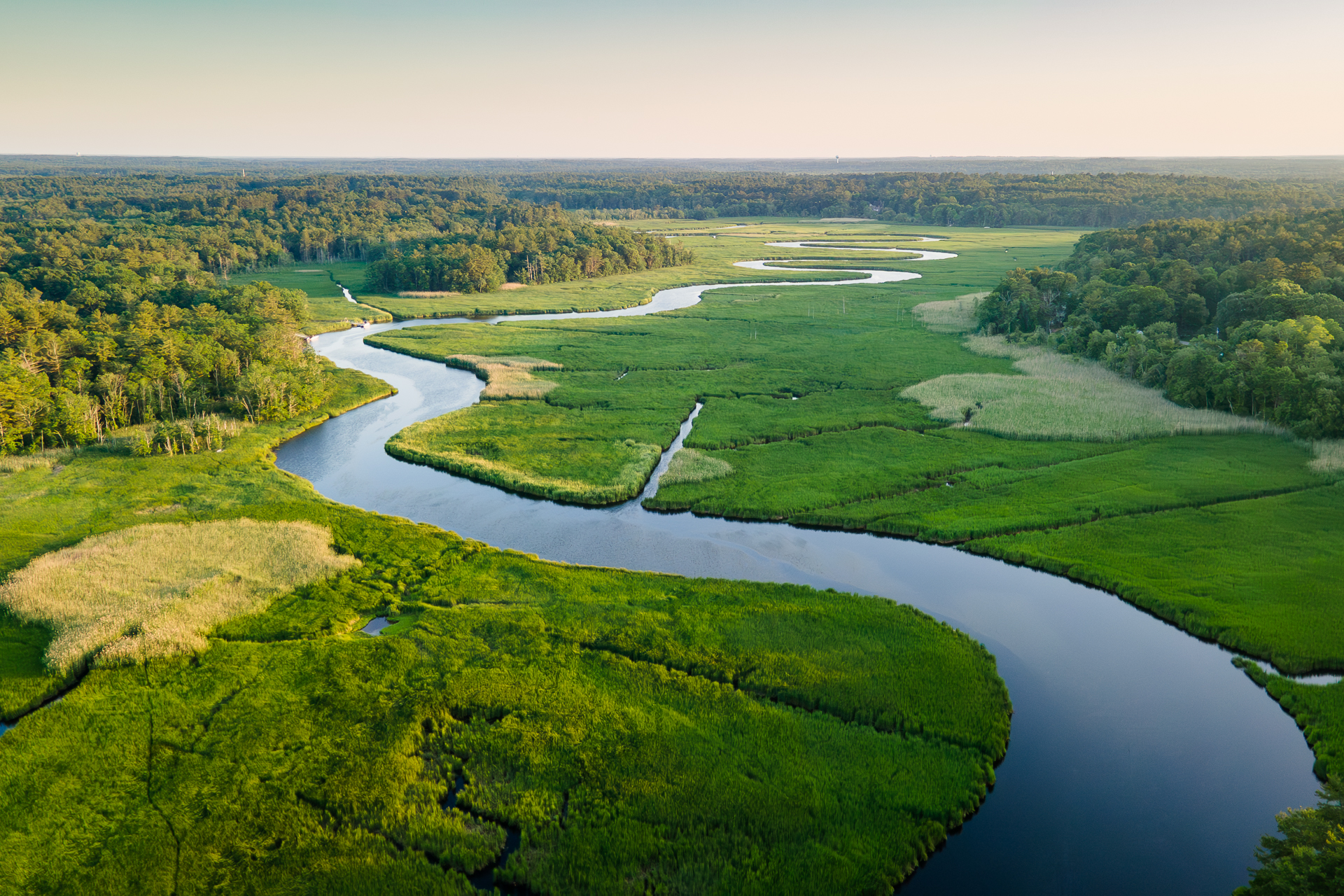
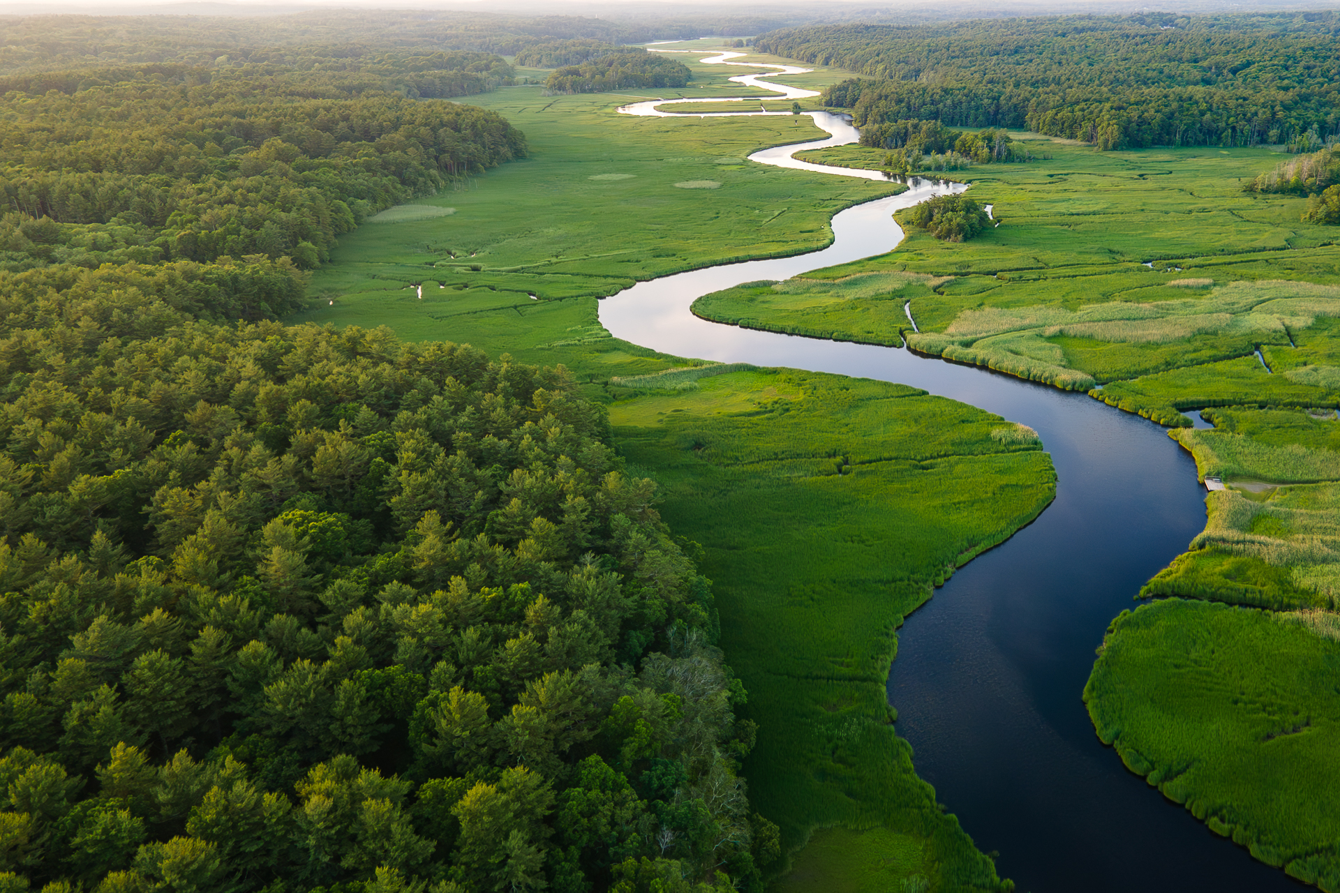
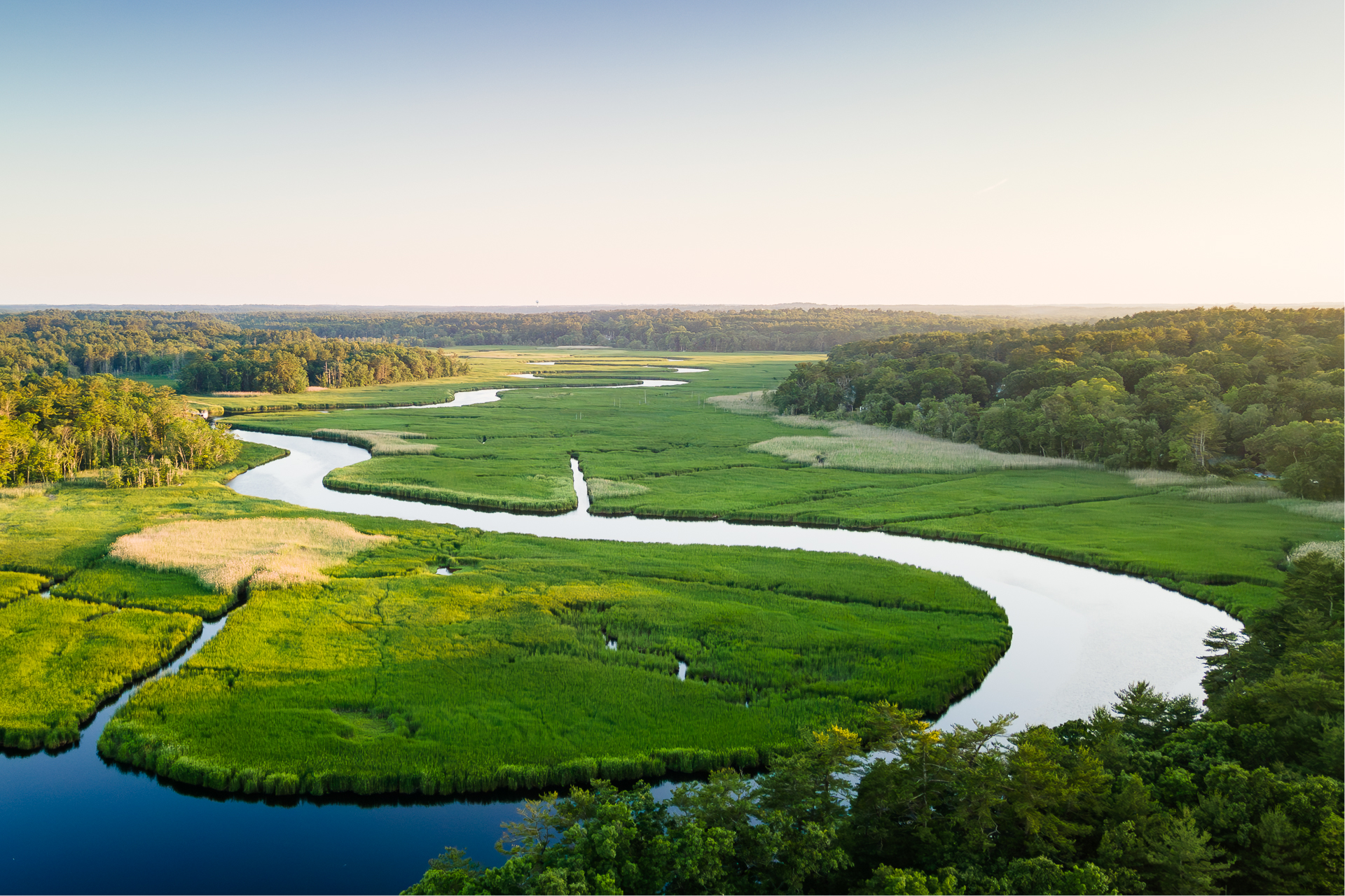
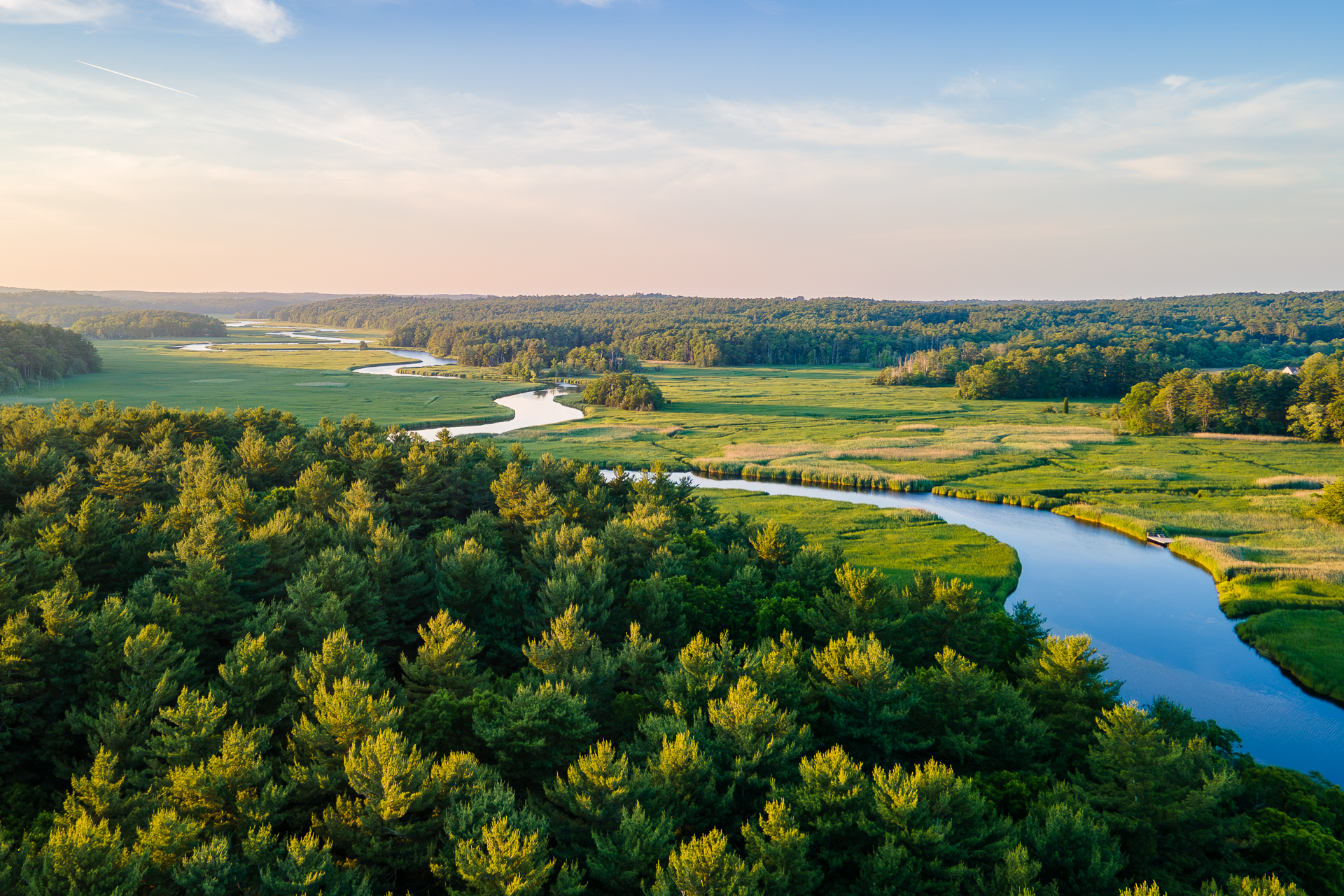
The graceful curve of the North River as it flows under the bridge on Route 3 on the South Shore has always captivated me at sunrise or sunset, regardless of whether I’m driving north or south. However, stopping on a highway bridge for a photo isn’t safe and is probably illegal, so recently, while driving south on Route 3, I decided to find a safe place to park and take a picture. Unfortunately, there wasn’t a safe spot to pull over anywhere in that direction so once I reached my destination, I took out my phone, opened Google Maps and went to work.
After a few minutes of researching the area, I noticed a small rest stop on the northbound side. As I was making my way back heading northbound, I realized that the rest stop still wasn’t the best vantage point as it still required me to walk towards the bridge. The solution? Capture it from above!
So, if by any chance you were heading northbound on Route 3 this past week and noticed someone launching a drone from a rest stop, that was probably me, capturing the beautiful curvature of the North River at Route 3. The view was as stunning as I had imagined, and the drone allowed me to safely get the photos I had been longing to take.
To purchase a print of this photo, click here.


Leave a Reply