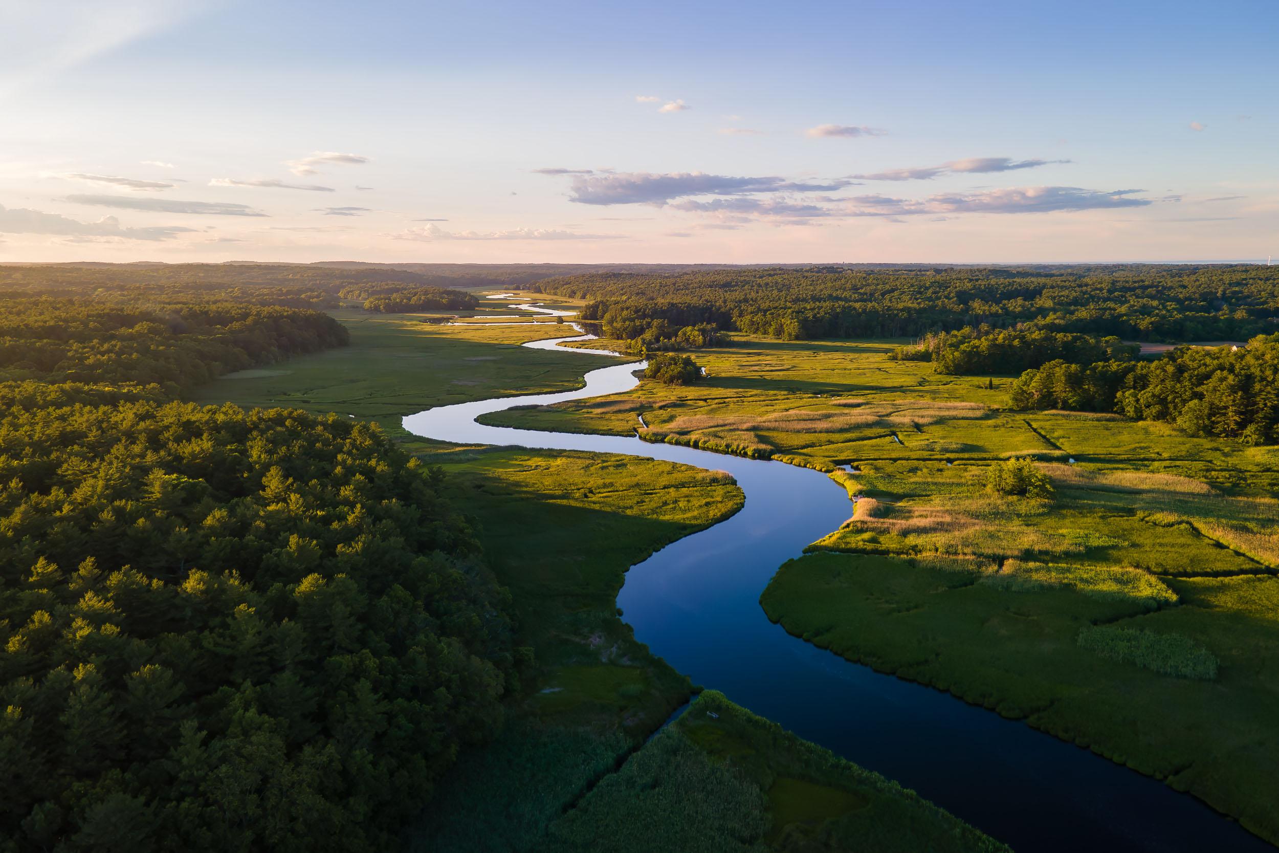
The curve of the North River where it passes under Route 3 on the South Shore has always stood out to me. I notice it most at sunrise or sunset, whether I’m heading north or south, even just passing through without stopping.
Stopping on the highway bridge isn’t really an option, so I had always just taken it in while driving. On a recent drive south, I tried to find a safe place to pull over and take a photo. There wasn’t anything workable along that stretch, so I kept going and figured I’d sort it out once I stopped.
After I reached my destination, I pulled up Google Maps and started looking at the area more closely. I noticed a small rest stop on the northbound side that looked promising. On the way back, I stopped there, but even from that side it wasn’t really a clear view. I would still have needed to get closer to the bridge than felt safe or practical.
In the end, the easiest solution was to go above it.
So if you were heading north on Route 3 and saw someone launching a drone from a rest area, that was probably me. It gave me a clean, direct view of the river’s curve without having to get near traffic. The shape of the North River from above is what I had been seeing in passing all along, just a bit more open and complete from that angle.
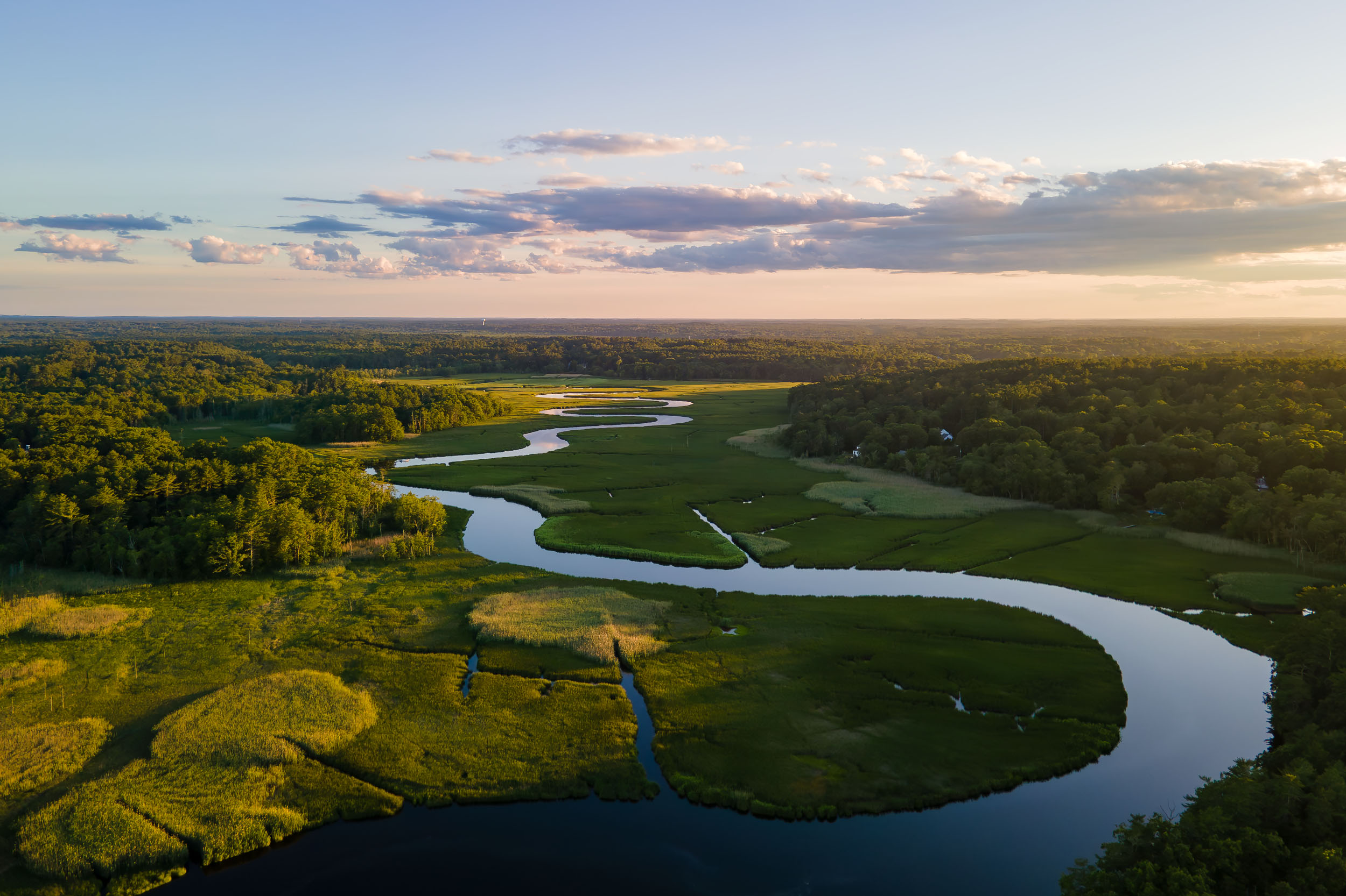
Update
I went back to the same spot again more recently to take another set of photos. The light was different this time, and the river reads a bit differently depending on the conditions. The curve is still the same, but the way it sits in the frame changes more than I expected depending on sky and tide.
Leave a Reply